
From the Travely-Family archive · Cape Horn
Tracking Systems—or How to Follow Our Route
An original publication from the former Travely-Family website. This English translation was preserved from the technical-site archive without editorial rewriting.
Tracking Systems—or How to Follow Our Route. Satellite Tracker
Iridium360
Rockstar
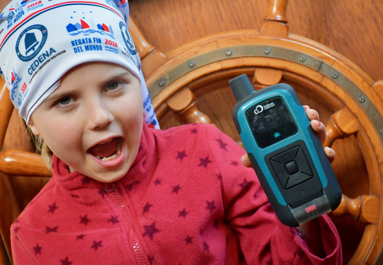
We decided to answer this frequently asked question separately.
On our previous challenging passages across the Southern Ocean or through the Drake Passage, we sent our coordinates to marinetraffic.com, where, using MMSI
273334590, you could see a tiny pink dot—our yacht Lady Mary.
Changes
Now, thanks to some wonderful people, we have moved one step closer to space technology.
We can confidently say that we now have a sponsor! Our route is automatically transmitted in real time to a satellite from a special Iridium beacon.
The Heroic Story of the Iridium Tracker
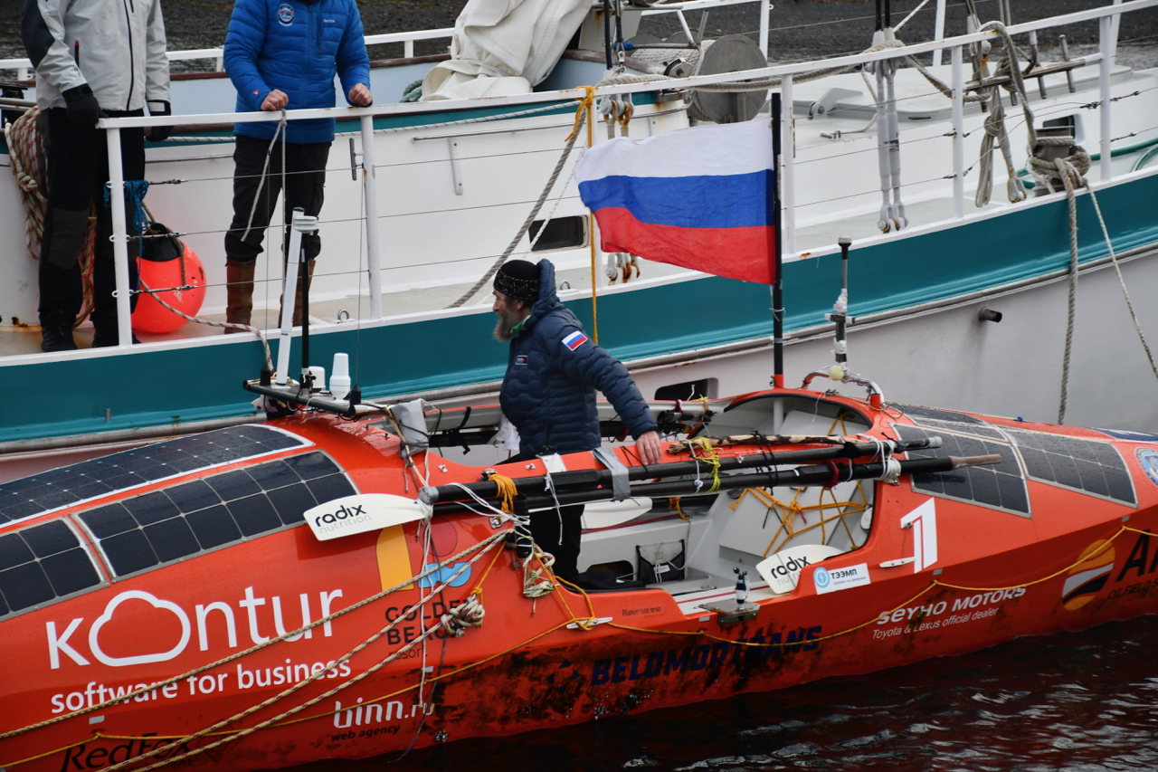
The Iridium RockSTAR 360 satellite tracker is unique. This wonder gadget, which looks like a rubberised mobile-phone handset from the early 2000s, crossed the South Pacific Ocean in Fedor Konyukhov’s rowing boat (it was his spare beacon).
After the passage was over, Fedor Filippovich passed the tracker on to Misha Tarasov, who, after negotiations with management, ceremoniously presented it to the crew of Lady Mary. We thank MVS-Telecom JSC and Mikhail Tarasov personally for their tangible support of the “Three Great Capes with Children” sailing expedition!
Not without some heated debate, we named our new crew member (I)Ridik. Our young sailor suggested christening the device Iriska or Iri and refuses to accept Ridik. We’ll see which name sticks.
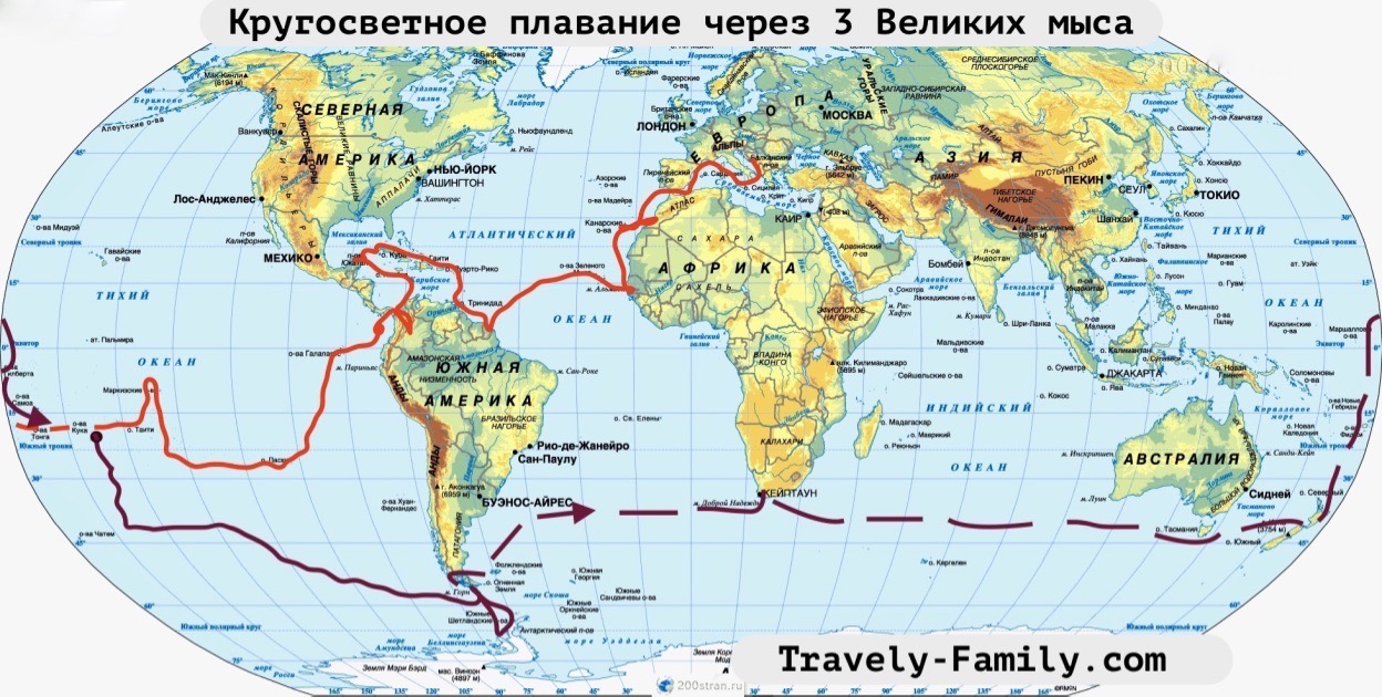
When we set off, we’ll switch on our Iridik, and it will patiently beep our coordinates into space.
The map and track are here: