
From the Travely-Family archive · Atlantic
James Island. Sailing Up the Gambia
An original publication from the former Travely-Family website. This English translation was preserved from the technical-site archive without editorial rewriting.
James Island. Up the River Gambia to a UNESCO World Heritage Site
At half past six in the morning, reveille was sounded aboard, and we began preparing for our main journey through The Gambia —a passage of almost 300 km upriver!
As we were getting ready to set off, we discovered that the depth sounder had stopped working. Taking it apart revealed that the refrigerator, which had simply been switched on too early, had drained all the voltage and left too little power for the sounder:). After all the dismantling and reassembly, the external depth transducer was also deemed to be misbehaving. The captain rendered the transducer what assistance he could, and half an hour later we were ready to depart.
Thanks to this technical delay, our Gambian friend Jibo had time to come and say goodbye and give the girls bracelets with their names on them (the craftsmen had written the Russian names as best they could, but it was touching).
Jibo wishes us a safe journey
A new milestone in the voyage
Once past Banjul, it became obvious that I had no clear idea of the geography of the Gambia’s estuary. Under sail and carried by the tidal current, Lady Mary sped upriver in the opposite direction from where I had thought upriver was. 🙂
The water remains salty for 100 kilometres upriver in The Gambia. It comes complete with hordes of brown jellyfish, rays and small sharks. Strong winds and high waves near the mouth dispel any suspicion that this might, after all, be a river rather than the sea, and allow us to sail while enjoying the ocean swell. Only towards the end of the day did it begin to feel as though we really were on a river rather than in the ocean (although the jellyfish and sharks had not gone anywhere).
We passed an island which, thanks to the Portuguese pioneers, was named Dog Island. Long ago, sailors thought they heard dogs barking on the little island. The supposed friends of man were actually baboons (their barking sounds very much like that of dogs), but the seafarers at the time had no idea that such outlandish creatures as baboons existed. Today there are neither dogs nor baboons on the island, but the name stuck. 🙂 James Island. Overnight Stop
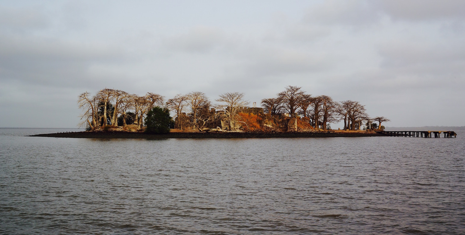
Twenty miles from the river mouth, in the middle of the river, stands a partially ruined fort that was once the coveted key to controlling the river’s exit.
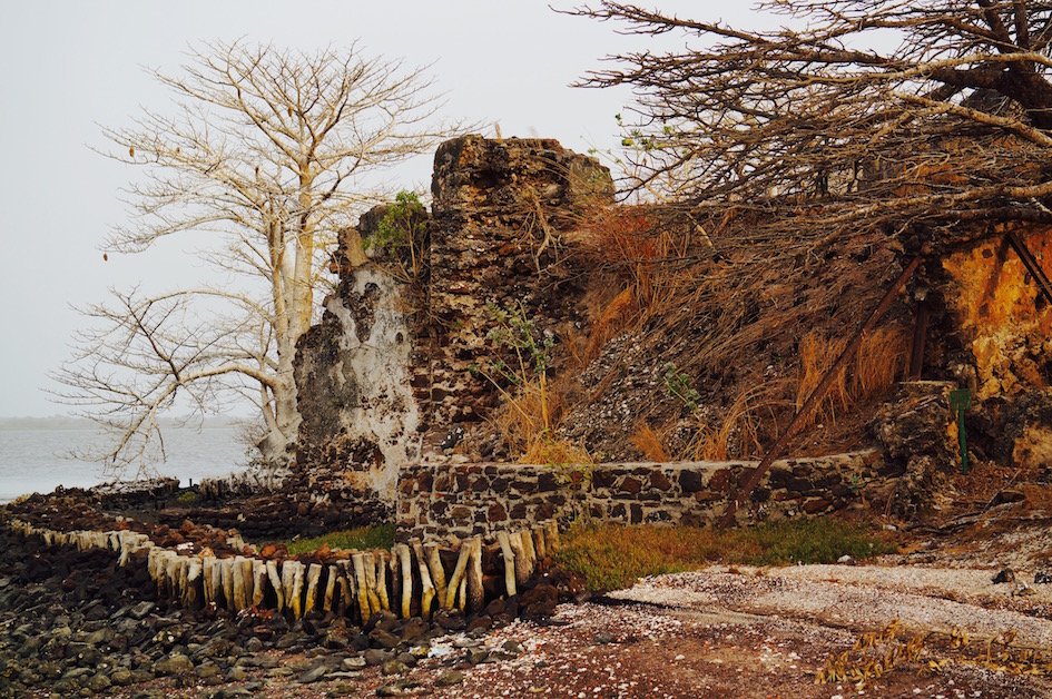
Outside the fortress wall are fortifications built by “UNESCO”
The Portuguese were the first to take notice of the island, in 1456. They were probably the same seafarers who set out along the African coast and then accidentally stumbled upon the Cape Verde Islands to the west as well (after all, Cape Verde was discovered by the Portuguese during that same five-year period).
Landing party on James Island
The Portuguese crew’s landing on this scrap of land at the mouth of the river was marred by a sad event: the crew lost a sailor, whom they decided to bury according to Christian rites. The island’s real name—Kunta Kinte—failed to make the proper impression on the grief-stricken Europeans, and the land became known as St Andrew’s Island in honour of the deceased sailor.
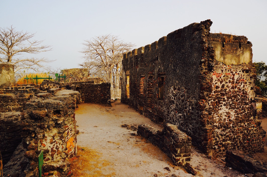
Almost 200 years after its discovery, the Germans took a serious interest in this patch of solid ground in the middle of the river. The Duke of Courland at the time saw an opportunity, bought the island from the local Niumi tribe in 1651 and began building a fort.
By the main building of Fort James
A Trap for Corsairs
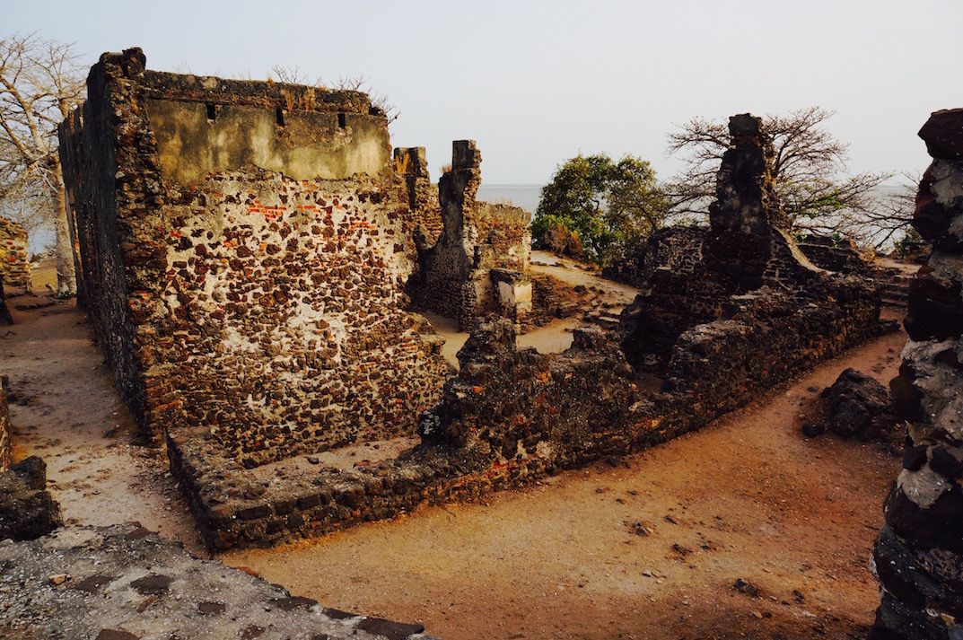
The island’s advantageous strategic position made its owners the rightful masters of every vessel sailing along the river and of all its treasures. The ships also carried human cargo—slaves. Europeans acquired them at very little cost: during internecine conflicts, tribes took prisoners and sold them to the white men. The latter tried to take the captives away from the mainland, but at the river’s exit they fell into the clutches of the dauntless garrison of James Island.
For the next ten years, the Dutch tried to seize the island, but the royal army of the Barra tribe successfully defended the Courlanders’ property until the English arrived. They swiftly razed the citadel to the ground and renamed the conquered territory James Island. The island bears that name to this day.
The picturesque ruins of James Island
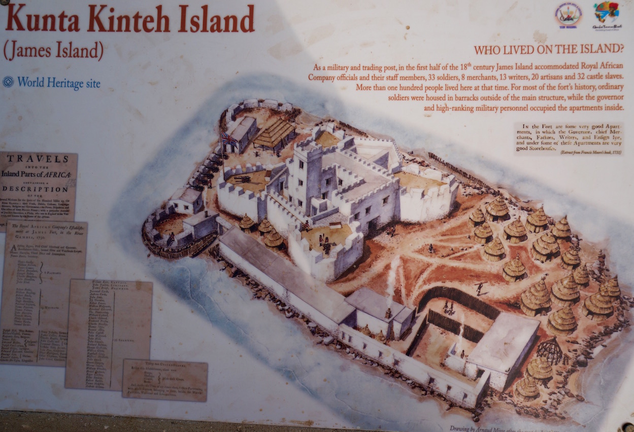
Over the following two centuries, the long-suffering fort passed from the hands of the French to the Dutch, the English, various pirates and even, once or twice, the local Niumi. It was destroyed to its foundations and rebuilt seven times. At various times, between 100 and 200 people lived in the fortress at once. The fort commandant and officers occupied comfortable rooms inside, while soldiers and slaves huddled in huts and barracks outside. Goods seized from ships were sent to whichever country then controlled the island, while exhausted slaves waited, packed together beside the fortress walls, to be shipped across the Atlantic. Food for the garrison and captives was brought over from the shore, since once the people and buildings were fitted onto the island’s surface there was no room left for vegetable beds or goat pens.
James Island looked approximately like this then
The Fall of the Fortress
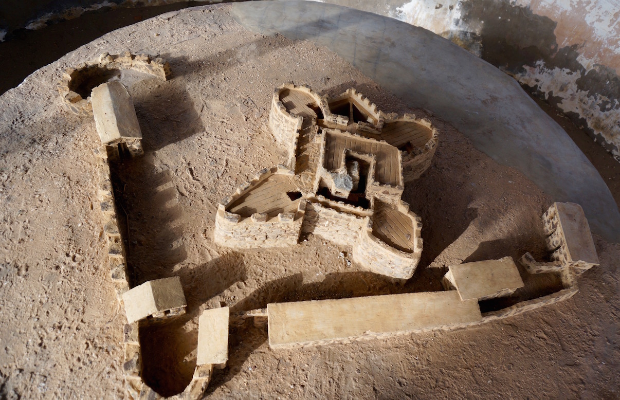
Fort James finally lost its power in 1830, when the valiant forces of the Barra tribe defeated (!?) the garrison. From then on, the fortress lay in ruins, continuing to disappear under the effects of erosion, wind and rain.
At the end of the last century, the government suddenly realised that the island’s natural environment and the citadel were being destroyed faster than anyone would have liked. And either from the 1960s or from the 1980s, access to the island was closed, allowing the local flora and fauna to recover.
Model of the fortress as it looked at the beginning of the 19th century
A Museum Beneath the Gambian Sky
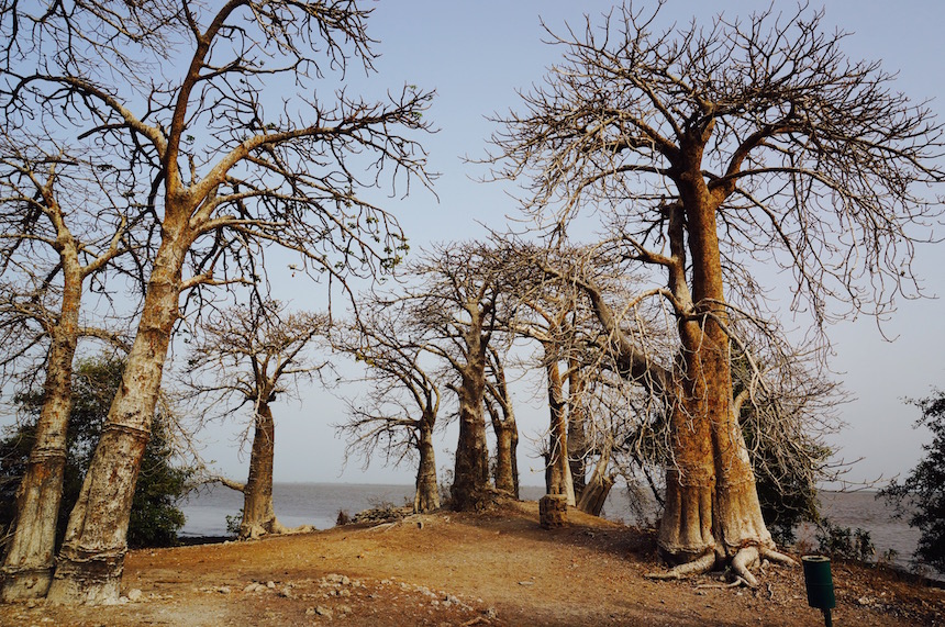
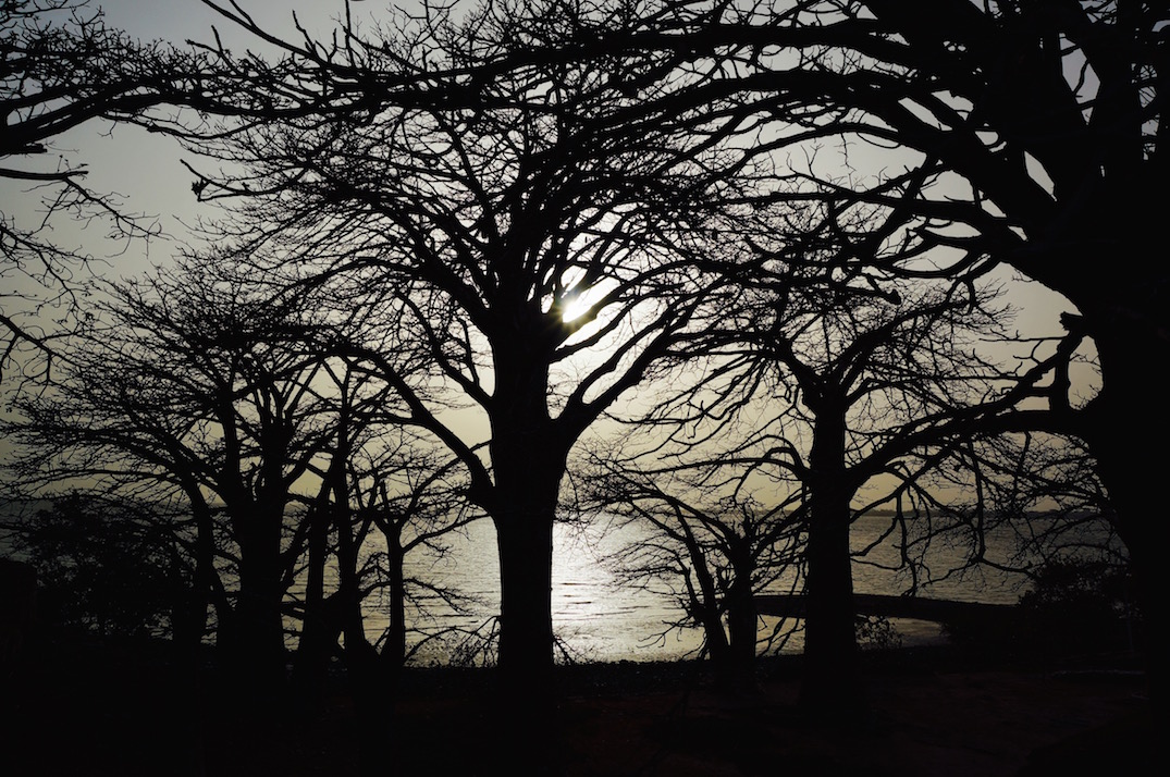
At the beginning of this century, restoration work was carried out under the auspices of UNESCO. It is now a UNESCO World Heritage Site. Baobabs grow on the island, and so many different herons nest in them that the branches and the ground beneath are chalk-white with bird droppings.
The baobabs bear fruit with fantastically healthy contents—a tart powder coating hard brown seeds. The powder is packed with vitamins and is used to make a drink called bouye, without which, probably, not a single family meal takes place. Add honey to bouye and you get a drink that tastes like the fruit kissel made from the compressed blocks of the Soviet past.
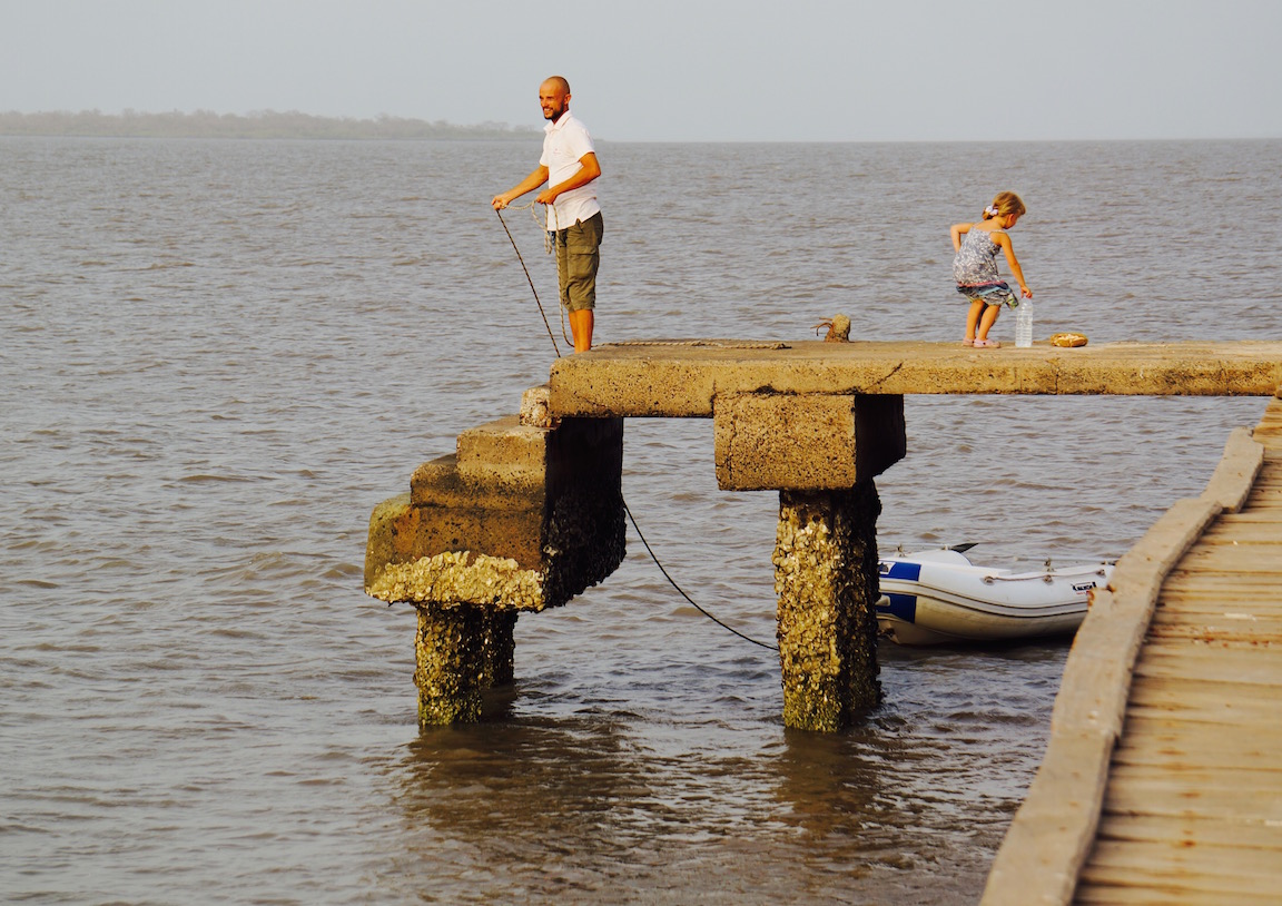
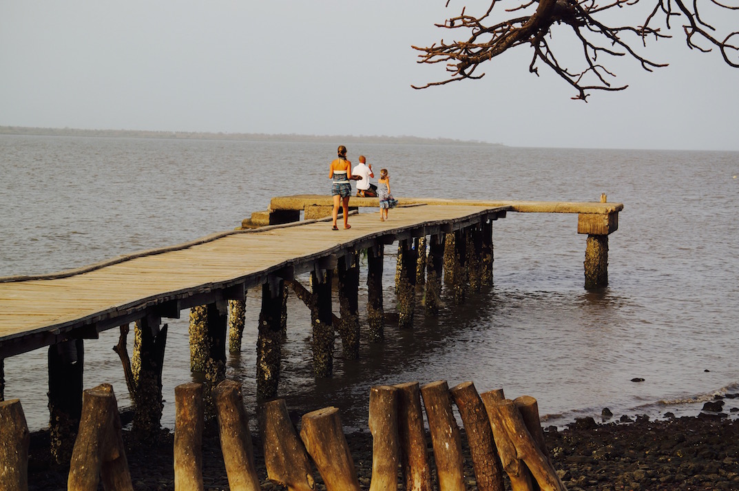
Path to the pier
The captain and the young sailors spent half an hour amusing themselves by harvesting the sacred tree’s fruit, knocking it down from the branches with stones. Once cleaned, two fruits yielded a bowlful of seeds coated with miraculous powder. We suck on them instead of sweets.
Every day during the high season, and a couple of times a week in the low season, pirogues carrying tourists arrive at the island. There is a veranda on the island where you can shelter from snow and rain:). The history of the island and fort is explained on special information boards. Beneath a palm-frond canopy stands a reconstruction of the fort as it looked in the early 19th century.
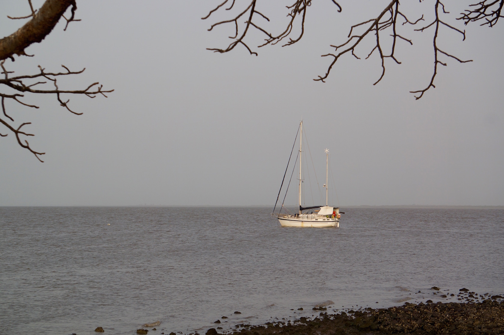
That night off James Island, we once again slept in the cockpit. It was the only African night when we did not need the mosquito net—in such a strong wind, mosquitoes were the least of our worries.
At anchor overnight off James Island
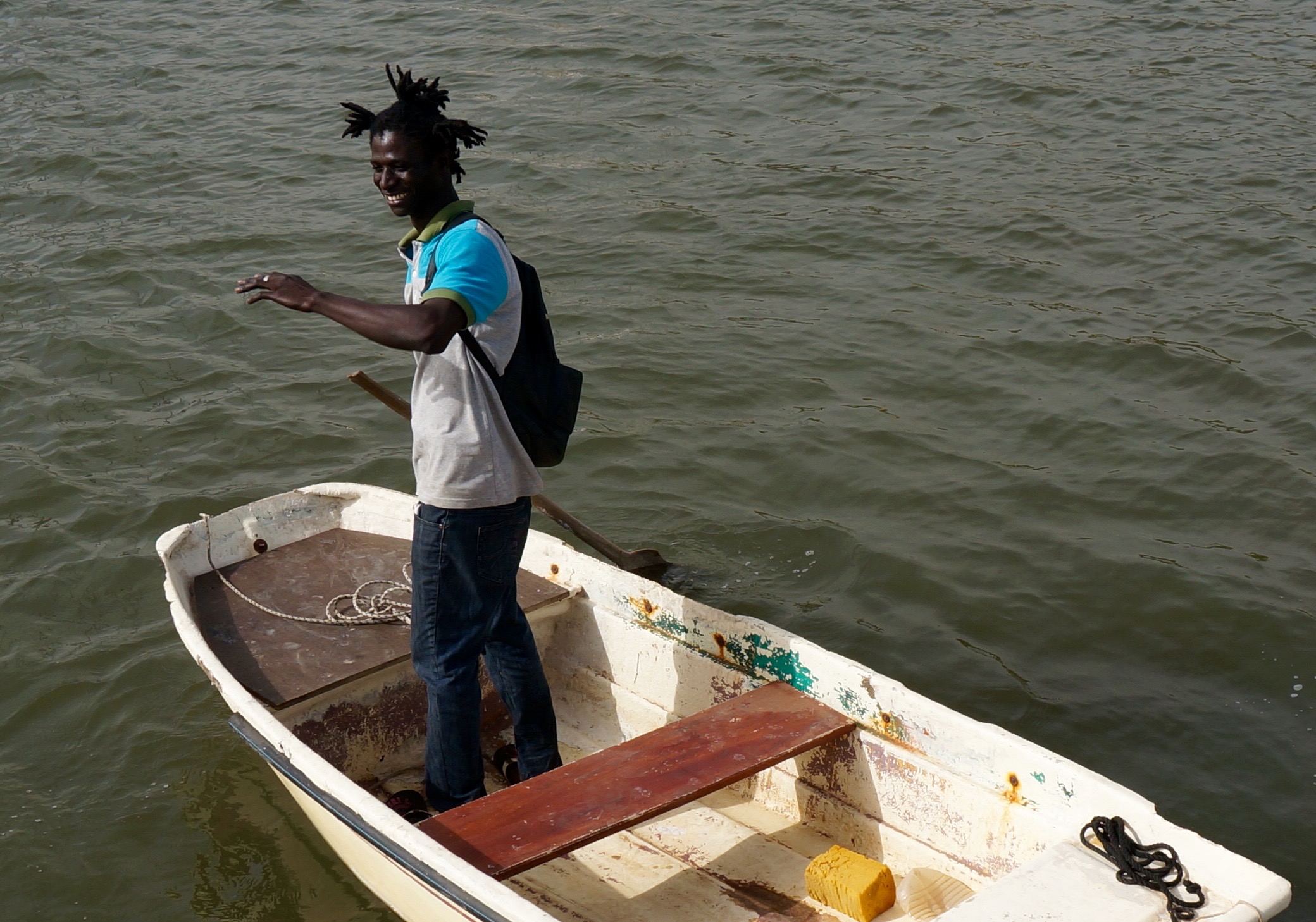
The crew returns aboard
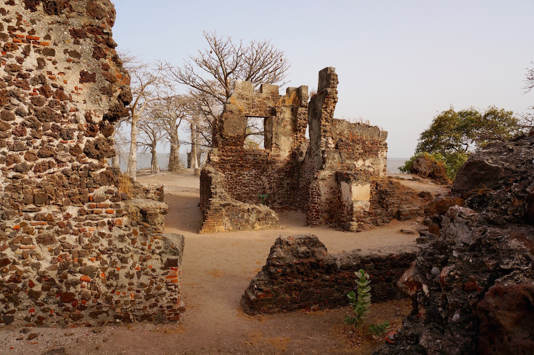
Inside the fortress
The island’s baobabs settle down to sleep together with their herons, while we return to our floating home
The adventures of Lady Mary’s crew upriver on the Gambia—to be continued!
You can find a list of all our articles about The Gambia here > >
Any use of materials from this website without the authors’ permission is prohibited.